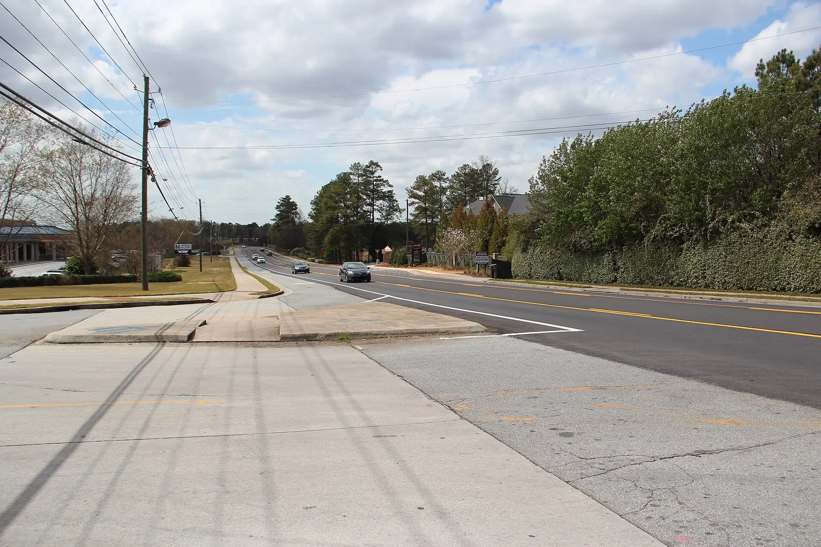
Lockridge Forest, Peachtree Corners' southwest corner on the Dunwoody line, is mostly in ZIP 30360. Zillow's typical value there: $503,274 in August 2026.
Last checked Oct. 6, 2026. Sources: the City of Peachtree Corners’ 2045 Comprehensive Plan (PDF) and open data portal, Gwinnett County Public Schools zone map data, the state’s 2025 School Grades data, Zillow Research, MARTA, Ride Gwinnett and OpenStreetMap.
Lockridge Forest is the southwest corner of Peachtree Corners, west of the Peachtree Corners Circle neighborhoods and along the line with Dunwoody, in DeKalb County. Most of it is single-family streets; townhomes, a few apartment complexes and small office parks sit near Winters Chapel Road and Peachtree Industrial Boulevard. Most homes here are in ZIP 30360, which Peachtree Corners shares with Dunwoody.
What this means for you
- Zoned high school: Norcross High, for almost every address. Check yours with Find My School.
- Home value: $503,274 in ZIP 30360 in August 2026, according to the Zillow Home Value Index.
- Nearest interstate exit: I-285 exit 31, Peachtree Industrial Boulevard, about 4.1 miles by road.
Part of our Peachtree Corners neighborhoods guide.
Where it is
The area runs south from Spalding Drive to Peachtree Industrial Boulevard, with the Dunwoody city line on the west; Winters Chapel Road crosses its southern part. OpenStreetMap places Lockridge Forest here, and the city’s character area map labels the Lockridge Forest swim and tennis club.
In the city’s 2045 Comprehensive Plan it is mostly Suburban Neighborhood, with Village Residential near Winters Chapel Road, which the plan uses for townhouses, condos and small-lot homes “where there is existing multi-family residential along major corridors,” and a small piece of the Peachtree Industrial Boulevard Employment Corridor.
The city’s 2026 address data has 1,072 addresses in this area. 90% are in ZIP code 30360 and 10% in 30092.
Homes
The city’s parcel data counts 777 single-family houses here. The city’s address data names the Spaulding Hills and Ridge at Crescent Cove apartments, the Flanigan Village townhomes and the Peachtree Chapel office park. For the single-family streets the plan wants low-scale homes and discourages apartments, townhouses and shops; in the Village Residential pieces it wants “high-quality housing options to families at all stages of life,” including for empty nesters who want to downsize.
Schools
How this area’s addresses split in Gwinnett County Public Schools’ zone map for 2026-27. Scores are 2025 College and Career Ready Performance Index (CCRPI) figures from the state’s School Grades report.
| Level | School | Share of addresses | 2025 CCRPI |
|---|---|---|---|
| High | Norcross High (report card) | 99.9% | 69.8 |
| Middle | Pinckneyville Middle (report card) | 99.9% | 79.9 |
| Elementary | Peachtree Elementary (report card) | 59% | 72.5 |
| Elementary | Stripling Elementary (report card) | 41% | 76.0 |
One address on the county line fell outside the Gwinnett zone map; homes across the line in Dunwoody go to DeKalb County schools. The state average was 78.0 and Gwinnett County Public Schools scored 81.5. Peachtree Elementary is at 5995 Crooked Creek Road. Paul Duke STEM High is a choice school open to the Norcross cluster. More in our Peachtree Corners schools guide.
Home values
The typical home value in ZIP 30360 was $503,274 in August 2026, up 0.9% from $498,872 in August 2025, according to the Zillow Home Value Index. The index is a modeled typical value for the middle third of homes, not a sale price. Zillow files 30360 under Dunwoody, and the ZIP also covers neighborhoods on the DeKalb side. The citywide Peachtree Corners figure was $542,915, down 2.3% on the year, and ZIP 30092 was $558,490. More in our home prices guide.
Parks and trails
There is no public park inside the area. The nearest in OpenStreetMap is Windwood Hollow Park, 4865 Lakeside Drive, about a mile southwest in a straight line in Dunwoody. The plan wants greenways or multi-use trails linking the city’s neighborhoods to the Chattahoochee River, Holcomb Bridge Road and the Central Business District. More in our parks and trails guide.
Getting around
- Interstates: I-285 exit 31, Peachtree Industrial Boulevard, about 4.1 miles by road; I-85 exit 99, Jimmy Carter Boulevard, about 6.4 miles.
- Town Green: about 5.1 miles by road.
- Airport: about 28.9 miles to Hartsfield-Jackson Atlanta International Airport. All are distances measured on the OpenStreetMap road network with the OSRM routing engine, not drive times.
- MARTA: Route 104, Winters Chapel Road, has a stop on Winters Chapel Road inside the area, according to MARTA’s schedule data.
- Ride Gwinnett: Route 35 runs along Peachtree Corners Circle on the area’s east side. It does not run Sundays.
More in our getting around guide.
Groceries and everyday stores
From OpenStreetMap, the nearest are just outside the city:
- Walmart Neighborhood Market, 5025 Winters Chapel Road, in Dunwoody
- Publix, 7736 Spalding Drive
How we drew this area
This area is the part of the city west of the Peachtree Corners Circle and Holcomb Bridge character areas, south of Spalding Drive and north of Peachtree Industrial Boulevard: mostly Suburban Neighborhood and Village Residential parcels from the city’s own character area map. School shares come from every address point inside it in the city’s 2026 address data, matched to the district’s zone maps on Oct. 6, 2026. Store and park locations are © OpenStreetMap contributors.
Frequently asked questions
Is Lockridge Forest in Peachtree Corners a good place to live?
Here are the facts. Lockridge Forest is the city’s southwest corner, mostly single-family streets with some apartments and townhomes, on the Dunwoody line. Almost every address is zoned for Pinckneyville Middle and Norcross High, which scored 79.9 and 69.8 on the state’s 2025 CCRPI, and Zillow put the typical home value in ZIP 30360 at $503,274 in August 2026.
What ZIP code is Lockridge Forest in Peachtree Corners?
Mostly 30360. In the city’s 2026 address data, 90% of addresses in this area are in 30360 and 10% in 30092.
What elementary school serves Lockridge Forest?
Peachtree Elementary for 59% of addresses and Stripling Elementary for 41%, in Gwinnett County Public Schools’ 2026-27 zone map.
Is there a MARTA bus near Lockridge Forest?
Yes. MARTA Route 104 has a stop on Winters Chapel Road inside the area, according to MARTA’s schedule data, and Ride Gwinnett Route 35 runs along Peachtree Corners Circle on its east side.
Have your say