The Peachtree Corners Circle area has 4,145 addresses, the most of any area in the city. ZIP 30092; Zillow's typical value: $558,490 in August 2026.
Last checked Oct. 6, 2026. Sources: the City of Peachtree Corners’ 2045 Comprehensive Plan (PDF) and open data portal, Gwinnett County Public Schools zone map data, the state’s 2025 School Grades data, Zillow Research, Ride Gwinnett and OpenStreetMap.
The neighborhoods along the southern stretch of Peachtree Corners Circle, between Holcomb Bridge Road and Peachtree Industrial Boulevard, are the most crowded part of the city. The city’s 2045 Comprehensive Plan calls this its Transitional Growth area and says it “has the highest concentration of population in the City” but is “particularly underserved by parks and public open space.” It is almost all apartment, condo and townhome communities.
What this means for you
- Zoned high school: Norcross High, for every address. Check yours with Find My School.
- Home value: $558,490 in ZIP 30092 in August 2026, according to the Zillow Home Value Index.
- Nearest interstate exit: I-285 exit 31, Peachtree Industrial Boulevard, about 4.4 miles by road.
Part of our Peachtree Corners neighborhoods guide.
Where it is
The area sits between the Holcomb Bridge Road corridor to the north and east, Peachtree Industrial Boulevard and the Southern Gateway to the south, and the single-family streets of Lockridge Forest to the west. Crooked Creek runs through it. OpenStreetMap places Glen Leaf, Elmside Village and Chelsea Park here.
The city’s 2026 address data has 4,145 addresses in this area, the most of any of our nine areas, and all but a handful are in ZIP code 30092.
Homes
The city’s address data names the apartment, condo and townhome communities here, among them The Springs at Peachtree Corners, Windsor Peachtree Corners, Barrington Hills, the Reserve at Peachtree Corners, Norcross Crossings, Park Trace, Highland Lakes and Elmside Village apartments, the Glenleaf and Autumn Trace condominiums and the Meadow Green townhomes. There are no single-family house parcels in the area on the city’s character area map.
The plan wants townhouses, condos, small-lot “cluster housing” and limited corner stores here, “to attract seniors, young adults, and new families,” at 2 to 8 stories, with low-scale buildings next to existing single-family streets. It discourages large-lot houses, large office buildings and industry. It suggests incentives and Opportunity Zone designation to bring in investment.
Schools
How this area’s addresses split in Gwinnett County Public Schools’ zone map for 2026-27. Scores are 2025 College and Career Ready Performance Index (CCRPI) figures from the state’s School Grades report.
| Level | School | Share of addresses | 2025 CCRPI |
|---|---|---|---|
| High | Norcross High (report card) | 100% | 69.8 |
| Middle | Pinckneyville Middle (report card) | 100% | 79.9 |
| Elementary | Peachtree Elementary (report card) | 59% | 72.5 |
| Elementary | Stripling Elementary (report card) | 41% | 76.0 |
The state average was 78.0 and Gwinnett County Public Schools scored 81.5. Peachtree Elementary is at 5995 Crooked Creek Road; Stripling Elementary is at 6155 Atlantic Blvd. in Norcross. Paul Duke STEM High is a choice school open to the Norcross cluster. More in our Peachtree Corners schools guide.
Home values
The typical home value in ZIP 30092 was $558,490 in August 2026, down 2.2% from $571,159 in August 2025, according to the Zillow Home Value Index. The index is a modeled typical value for the middle third of homes, not a sale price. ZIP 30092 covers most of Peachtree Corners, including its single-family neighborhoods, so it says little about condo and townhome values here. The citywide figure was $542,915, down 2.3% on the year. More in our home prices guide.
Parks and trails
There is no public park inside the area. The plan calls a large open space “integral to the vision” here, “where residents can gather and socialize,” and says Crooked Creek “is currently an untapped resource” that redevelopment should protect and open up. It wants greenways linking the area to the Chattahoochee, Holcomb Bridge Road, the Central Business District and The Forum. The city’s own park, the Town Green, is at Town Center. More in our parks and trails guide.
Getting around
- Interstates: I-285 exit 31, Peachtree Industrial Boulevard, about 4.4 miles by road; I-85 exit 99, Jimmy Carter Boulevard, about 4.6 miles.
- Town Green: about 3.9 miles by road.
- Airport: about 29.2 miles to Hartsfield-Jackson Atlanta International Airport. All are distances measured on the OpenStreetMap road network with the OSRM routing engine, not drive times.
- Bus: Ride Gwinnett Route 35 runs along Peachtree Corners Circle, with stops at Elmside Village, Westchase Village and Jones Mill Spur, on its way to MARTA’s Doraville station, according to Ride Gwinnett’s schedule data. It does not run Sundays.
More in our getting around guide.
Groceries and everyday stores
From OpenStreetMap, the nearest are just outside the area:
- Walmart Neighborhood Market, 5025 Winters Chapel Road, across the Dunwoody line
- ALDI, 6135 Peachtree Parkway
- Publix, 3200 Holcomb Bridge Road
How we drew this area
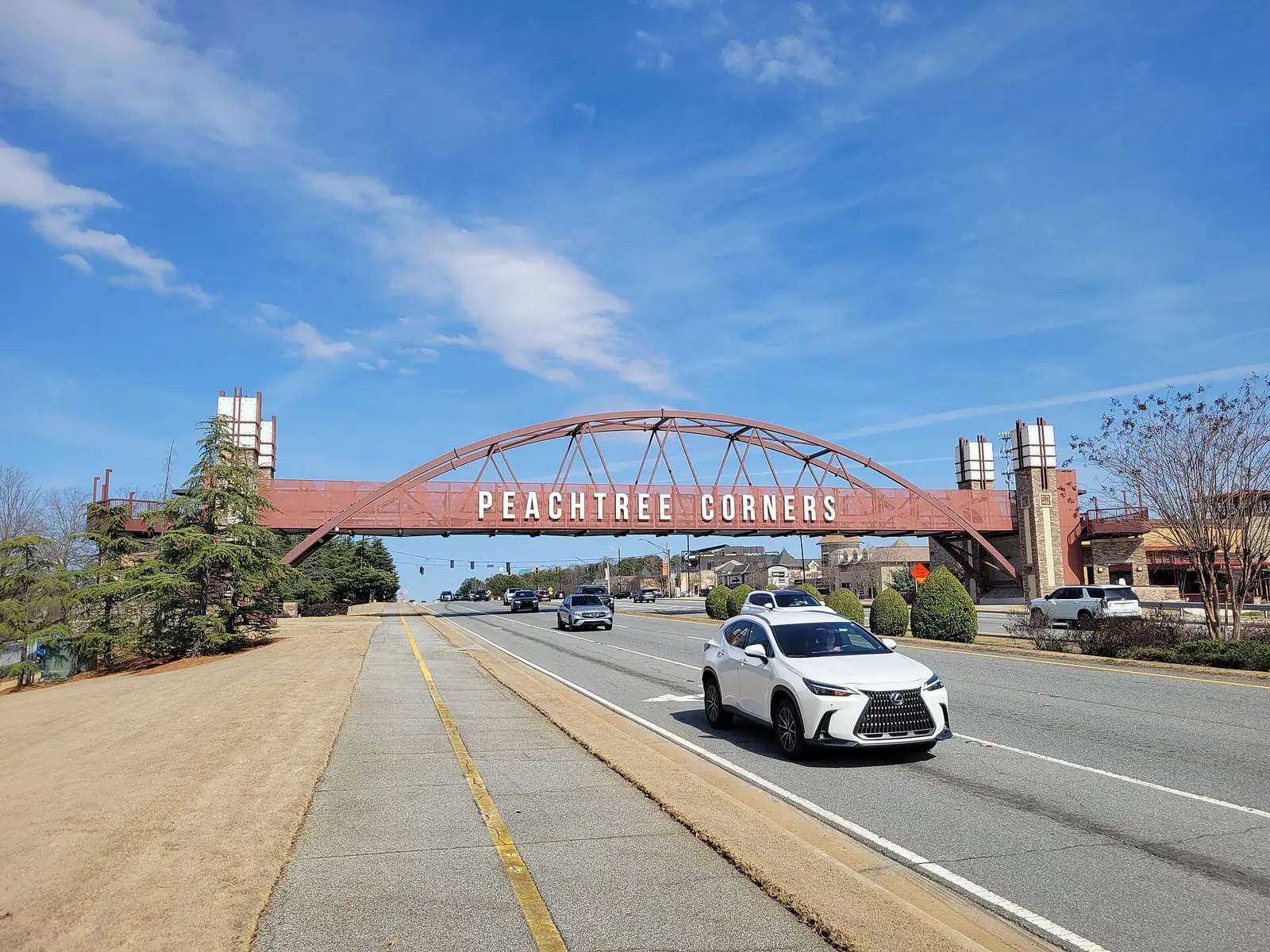
This area is the Transitional Growth character area in the city’s 2045 Comprehensive Plan, taken parcel by parcel from the city’s own character area map. School shares come from every address point inside it in the city’s 2026 address data, matched to the district’s zone maps on Oct. 6, 2026. We found no photograph of the area itself on Wikimedia Commons, so the picture shows the city’s pedestrian bridge at Town Center. Store locations are © OpenStreetMap contributors.
Frequently asked questions
Is Peachtree Corners Circle a good place to live?
Here are the facts. The area along Peachtree Corners Circle is mostly apartment, condo and townhome communities, and the city’s plan says it has the city’s highest concentration of people and few public parks. Every address is zoned for Norcross High, which scored 69.8 on the state’s 2025 CCRPI, and Zillow put the typical home value in ZIP 30092 at $558,490 in August 2026.
What elementary school serves Peachtree Corners Circle?
Peachtree Elementary for 59% of addresses and Stripling Elementary for 41%, in Gwinnett County Public Schools’ 2026-27 zone map. All are zoned for Pinckneyville Middle and Norcross High.
Is there a bus on Peachtree Corners Circle?
Yes. Ride Gwinnett Route 35 runs along Peachtree Corners Circle to MARTA’s Doraville station, Monday through Saturday.
What ZIP code is Peachtree Corners Circle?
30092, for almost every address in the city’s 2026 address data.
Have your say